
GeoPlan Center and Historic Preservation Program collaborate to build a historic resources database for Pinellas County
Historic preservation is an important way for us to transfer our information of the past to future generations, building the foundations of their knowledge. Historic preservation can take many forms, but a common one is the physical preservation of sites with historic or cultural importance. Historic sites already face threats such as the wear and tear of time, but these risks are exacerbated by sea level rise and storm surge, which can flood and destroy old buildings.
This project aimed to develop a robust geodatabase of historic resources for Pinellas County to aid in managing flood risks to historical assets across multiple municipalities and governmental levels (national, state, and local). In this first phase, UF partnered with Pinellas County government and four municipalities, which are Certified Local Governments (CLGs), to collect, standardize, and integrate resource data into one database with flood hazard information. Later phases intend to include historic resources in all seven CLGs across the county.
The geodatabase developed in this this phase included more than 435,697 records with 202,000 resources built before 1976, and more than 55,000 in the Special Flood Hazard Area. Historic resource data from the State of Florida Master Site File (FMSF) included historic sites, bridges, cemeteries, boundaries, resource groups, and contributing resources within historic districts (National Register and local districts). After the historic resource data was cleaned and standardized, flood hazard and storm surge layers were integrated with county parcel data to aid in understanding flood risk to historic resources.
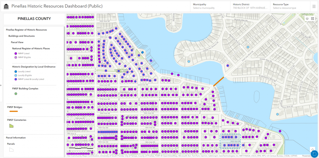
After the geodatabase was developed, a web mapping tool was designed to allow users to explore locations and attributes and filter based on various historic designations. The tool can be used for historic preservation needs across audiences such as county and municipal disaster recovery personnel, historic preservation data collection consultants, and the general public. This interdisciplinary project included urban planning, historic preservation, GIS and data management, and emergency management.
Please note that any ads displayed on embedded YouTube videos are not provided, reviewed, or approved by the University of Florida. They are served directly by YouTube and may vary based on viewer location and account settings.
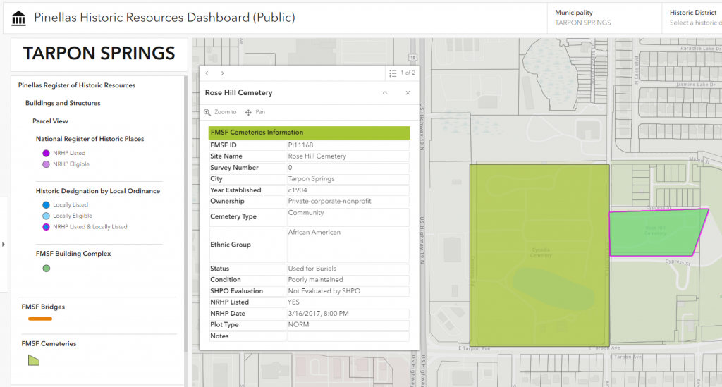
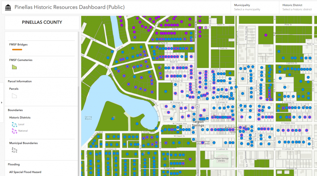
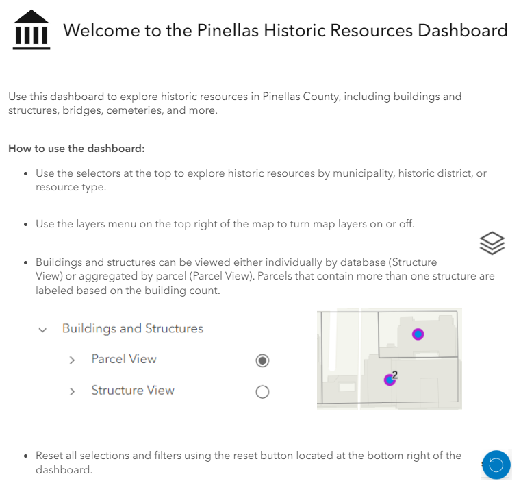
This video shows off the Pinellas Historic Resources Dashboard, which indicates features on the Pinellas Register of Historic Resources. In the dashboard, the user can search by municipality, historic district, and resource category. The user can toggle between different layers, including viewing parcels and flood risk. In the video, the user navigates via the dashboard and opens an address in Google Street View and reviews parcel information.