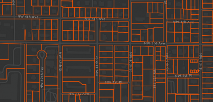
Spotlight on Florida Parcels
Update as of October 2025: All parcel layers (including historic versions) have been removed from FGDL per a request from …
Learn more about specific datasets provided by the GeoPlan Center and Florida Geographic Data Library.
Update as of October 2025: All parcel layers (including historic versions) have been removed from FGDL per a request from …
GeoPlan student employees Nikesha Medard and Alyssa Bement created an AGOL dashboard to explore Future Land Use designations across Florida.
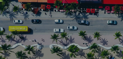
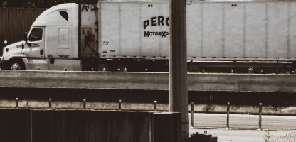
Noise abatement barriers are solid obstructions built between the highway and the homes along a highway. They are designed to …
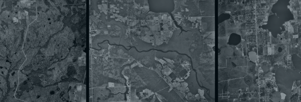
Learn about the University of Florida Map & Imagery Library’s extensive collection of Florida aerial photographs.