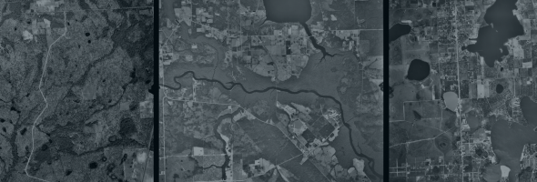
The GeoPlan Center has uploaded on ArcGIS Online a collection of over 90,000 aerial photographs collected between 1937 and 1985, some of the oldest land use and cover information available for the state, housed and maintained by the University of Florida Map & Imagery Library. The UF Map & Imagery Library boasts “the largest and most complete collection of Florida aerial photographs (~160,000 photos) outside of the National Archives”.
These aerial photographs, originally used to help farmers make decisions on crop determination and soil conservation, are now used for a variety of purposes, including agriculture, conservation, urbanization, recreation, education, hydrology, geology, land use, ecology, geography, and history.
On ArcGIS Online, the photographs are divided into layers by decades, which can each individually be explored on the online map viewer. Individual photographs are represented as points on the map centered on the areas they cover. Selecting a point gives access to three different types of link: GOOGLEMAP (opens current Google Map view), JPEGS (link to the aerial jpg), and VIEWER (link to UFDC Viewer application). The aerials can also be downloaded from the maps as CSV, KML, Shapefile, GeoJSON or File Geodatabase files.

