
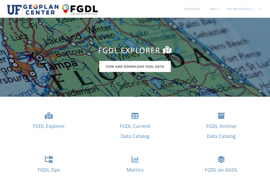
The Florida Geographic Data Library (FGDL) has a new and expanded website! It serves as a hub for all ways to discover, explore, and download current and archived FGDL data. Below are a few highlights of the new website:
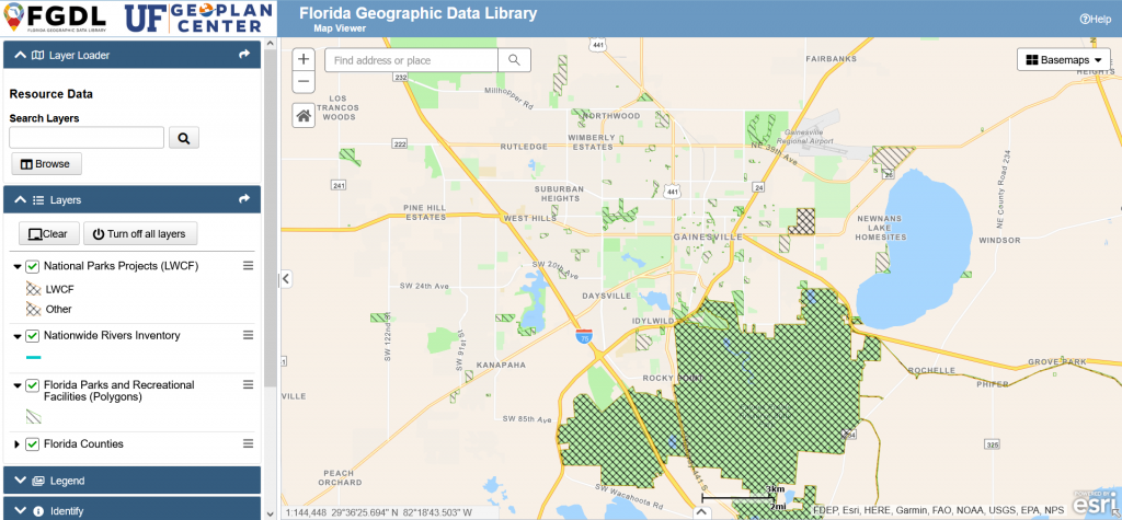
- FGDL Explorer: New interactive map viewer to explore and download data. Users can also create simple maps and save them directly from the website.
- Current Data Catalog: Replaces the Metadata Explorer, with improved search and filtering for discovering data. Also links to map services when available.
- Archive Data Catalog: The archive data catalog makes available almost 4,000 older versions of FGDL layers. These archive layers can aid in temporal or change analyses.
In addition, the new website includes two new dashboards exploring how and where FGDL data is used. See the Downloads Metrics Dashboard and Publications Metrics Dashboard to explore the various applications and download locations of FGDL data.
The website also includes information on FGDL’s history, and GIS and data resources for users, such as how to cite FGDL data. Tutorials for the data catalogs and FGDL Explorer are coming soon.
Visit FGDL