• About
    • People
    • Students
    • Blog
    • Contact
  • Projects
    • Current Projects
    • Student Showcase
    • GeoPlan in the News
    • Past Projects
  • Software
    • ArcGIS Online
    • ArcGIS Pro
    • Software FAQs
    • Other Software
  • Training
    • Online GIS Certificate
      • FAQs
      • Orientation
      • Apply Now
  • Services
  • Search
University of Florida GeoPlan Center
Geo-Facilities Planning and Information Research Center
 
Skip to content
  • About
    • People
    • Students
    • Blog
    • Contact
  • Projects
    • Current Projects
    • Student Showcase
    • GeoPlan in the News
    • Past Projects
  • Software
    • ArcGIS Online
    • ArcGIS Pro
    • Software FAQs
    • Other Software
  • Training
    • Online GIS Certificate
      • FAQs
      • Orientation
      • Apply Now
  • Services
  • Search
Home Posts tagged "Data Highlight"

Tag: Data Highlight

Data Highlight: Historic Aerial Imagery
Blog

Data Highlight: Historic Aerial Imagery

February 28, 2022 November 15, 2022  Data Highlight

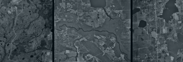
Learn about the University of Florida Map & Imagery Library’s extensive collection of Florida aerial photographs.

Continue reading"Data Highlight: Historic Aerial Imagery"
  • GeoPlan Center, University of Florida
  • P.O. Box 115706 Gainesville, FL 32611-5706
  • Learn about the Online GIS Certificate
  • Access Software Through GeoPlan Center
  • Contact Us
  • Privacy Policy
Back to Top
University of Florida College of Design, Construction and Planning.