
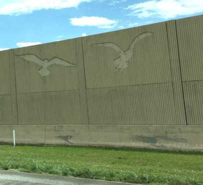
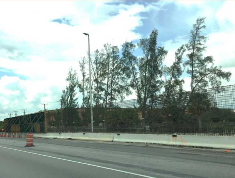
Noise abatement barriers are solid obstructions built between the highway and the homes along a highway. They are designed to reduce overall noise levels, not to completely block all noise. Effective noise barriers typically reduce noise levels by 5 to 10 decibels (dB), cutting the loudness of traffic noise by as much as one half. The Federal Highway Administration’s (FHWA) highway noise regulation (23 CFR 772.13(f)) requires each state highway agency to maintain an inventory of all constructed noise abatement measures.
The GeoPlan Center maintains a statewide GIS inventory of all noise barriers constructed by FDOT. The GeoPlan Center coordinates with FDOT Office of Environmental Management and the seven District offices to obtain updated data. The data is then standardized to meet FHWA reporting requirements and combined into a statewide layer. Imagery and google street view is also used to assist with quality control/ quality assessment of the data.
In Task 1, existing constructed barrier data from 2019 was reviewed with imagery and Google Street View.
In Task 2, GeoPlan coordinated with OEM and FDOT Districts to obtain new and updated noise barrier data.
In Task 3, the new inventory records collected were standardized to meet FHWA tabular and reporting requirements. “Recommended” noise barriers from 2019 were cross-referenced with the noise barriers created since then. Both a statewide GIS dataset and excel table data were created.
Task 4, to maintain the dataset, is ongoing. GeoPlan will coordinate with OEM and FDOT districts to obtain new and updated noise barrier data as it becomes available.
TheFlorida Department of Transportation Noise Abatement Barriers – 2023 GIS dataset is now available for download from the Florida Geographic Data Library. You can also view the project presentation.